Sunnyside
Week 35
Hip Hop in Queens
Week 35
Hip Hop in Queens
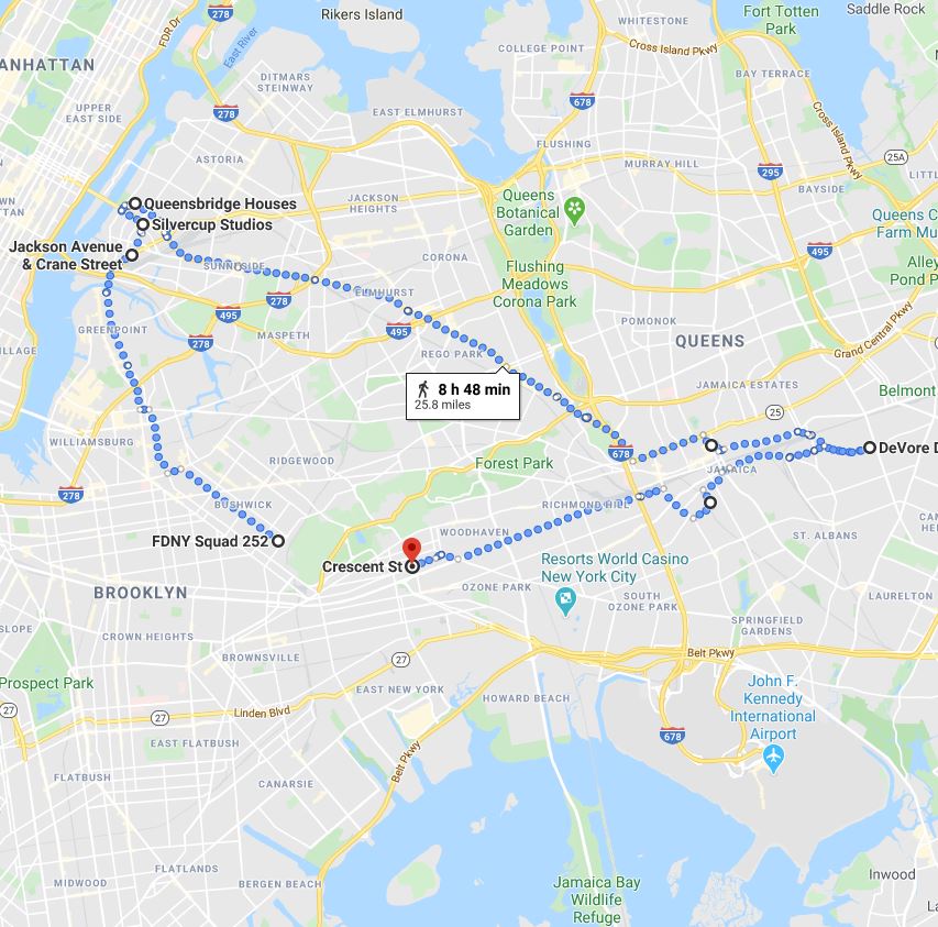
Our second walk focusing on music in NYC takes a look at the history of Hip-Hop in Queens County. From Queensbridge to Corona, from Hollis to Jamaica, Queens native musicians have played a critical role in the development of the form. We'll visit the neighborhood homes of Nas, LL Cool J, Nicki Minaj, A Tribe Called Quest and Kool G Rap, just to name of few. (Note: .4 marathon mileage delta will be made up as we wander)
Week 28
Following the BQE
Week 28
Following the BQE
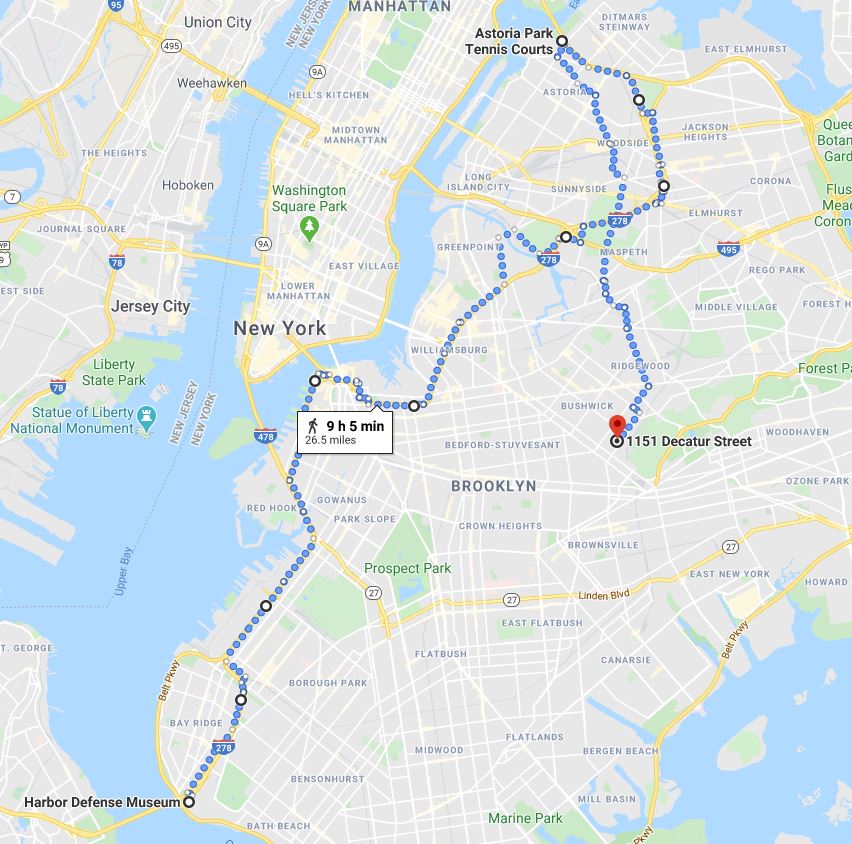
Few major thoroughfares define its surroundings as strongly as the section of I-278 known as the Brooklyn-Queens Expressway. This week we'll follow the entirety of its path, starting at the foot of the RFK bridge in Astoria and concluding at the base of the Verrazzano. Neighborhoods along the way include Woodside, Sunnyside, Williamsburg, Brooklyn Heights, Sunset Park, Bay Ridge and more.
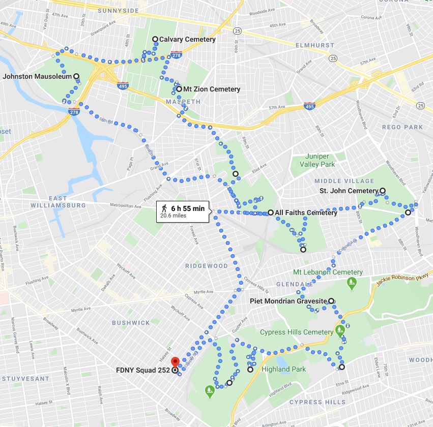
This week's route explores the fascinating and tranquil world of Queen's numerous graveyards. Calvary, Mt. Zion, Mt. Olivet, St. John and Cypress Hills are just some of the cemeteries we visit, marveling at the stonework and visiting the graves of the famously interred. The planned route has been set at 20 miles to allow for ample roaming time through the graveyards.
Week 13
North Shore Staten Island
Week 13
North Shore Staten Island
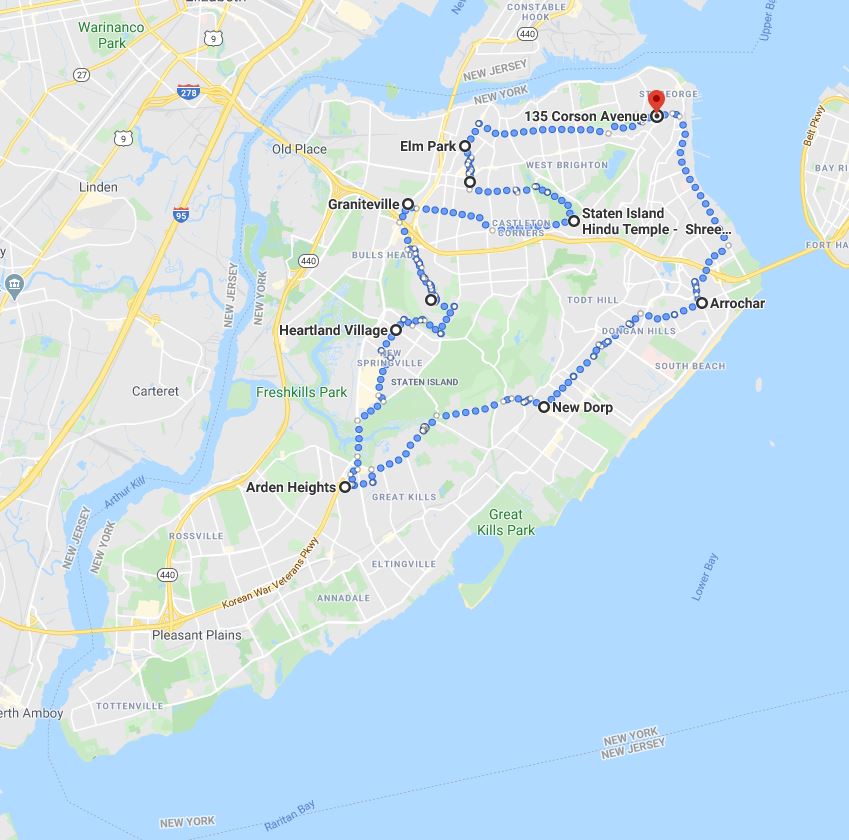
Our third week in the 'September in Staten Island' stays inland to catch some neighborhoods missed in the first two weeks. Dongan Hills, New Dorp and Great Kills are some of the areas touched on, with the turn at Arden Heights leading through to the College of Staten Island. We come out the otherside in Graniteville, sliding east across Castleton Corners before concluding in the Port Richmond region.
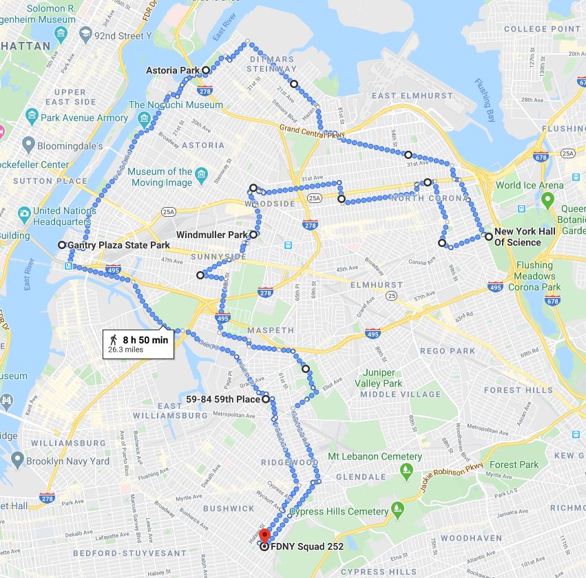
Our survey of Northwest Queens starts with a walk through Ridgewood, cutting across cemetery territory to walk up the coast of Hunter's Point, Dutch Kills and Astoria. We sweep by LaGuardia airport and tag the New York Hall of Science in Flushing Meadows Park before cutting across Jackson Heights and down through Sunnyside and Maspeth.

