Kings Highway
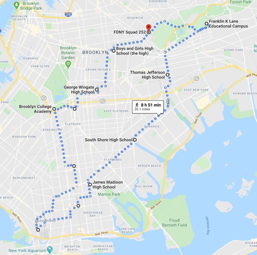
Our final music-centric walk visits the high schools of Brooklyn's most famous female musicians. From Lena Horne to Barbra Streisand, Carole King to Lil' Kim, we see the institutions that made them - and sometimes made them leave.
Week 46
In Pursuit of Freedom
Week 46
In Pursuit of Freedom
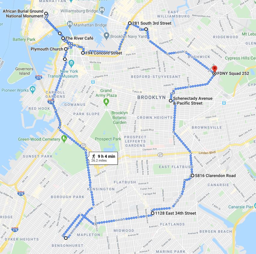
In 1790, 61% of all white Households in Kings County owned slaves, representing 30% of the borough's total population. This was enough to earn it the ignominious distinction of "the highest proportion of slaveholders and slaves in the North." Our walk this week covers the grounds of Canarsie and the Flatlands where many of these slaves resided, along with the courageous and vibrant abolitionist history of Brooklyn Heights, Williamsburg and Weeksville. We'll also step into Manhattan to visit the African Burial Ground National Monument near City Hall.
Week 32
The Native Roads
Week 32
The Native Roads
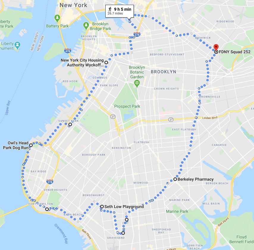
Back in 2015, Heather Quinlan at Brooklyn Heights Blog stumbled upon a rather exciting map at the Brooklyn Historical society. Published in 1946 by historian James A. Kelly, it details all the Native America trails that cover the borough and their contemporary counterparts. This week we'll walk those existing routes, with a trip down Kings Highway, a walk along Shore Road, and up Division Avenue, among other paths. We'll also visit the peculiar Gravesend Square and the city's oldest cemetery.
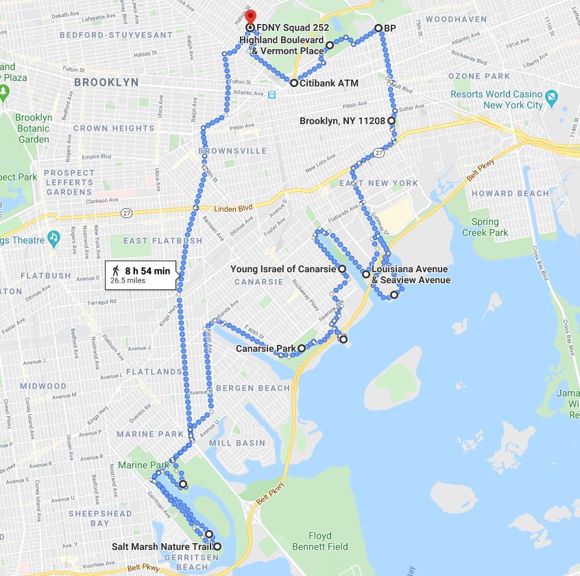
Our last survey walk of the near boroughs hugs the eastern side of Brooklyn, cutting through the Flatlands on the way to a thorough tour of Marine Park. While tracing the shore of Jamaica Bay on our return, we edge along Bergen Beach, Canarsie, East New York and Cypress Hills
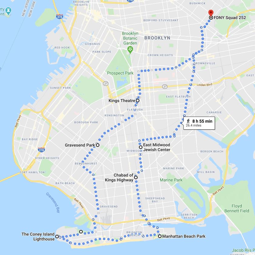
This week takes us further still into the south of Brooklyn, doing a sweep of Coney Island, Brighton Beach and Manhattan Beach. Our return path skirts Sheepshead Bay, rolls straight through Homecrest and Midwood, goes up the Kings Highway and heads home.

